

PAVEMENT MANAGEMENT FOR LOCAL GOVERNMENTS
Smarter Pavement Decisions Start Here
Plan smarter, prioritize the right work, and stretch your pavement budget further with a GIS-powered pavement management solution built for the realities of local government.
Pavement Management That Works as Hard as You Do
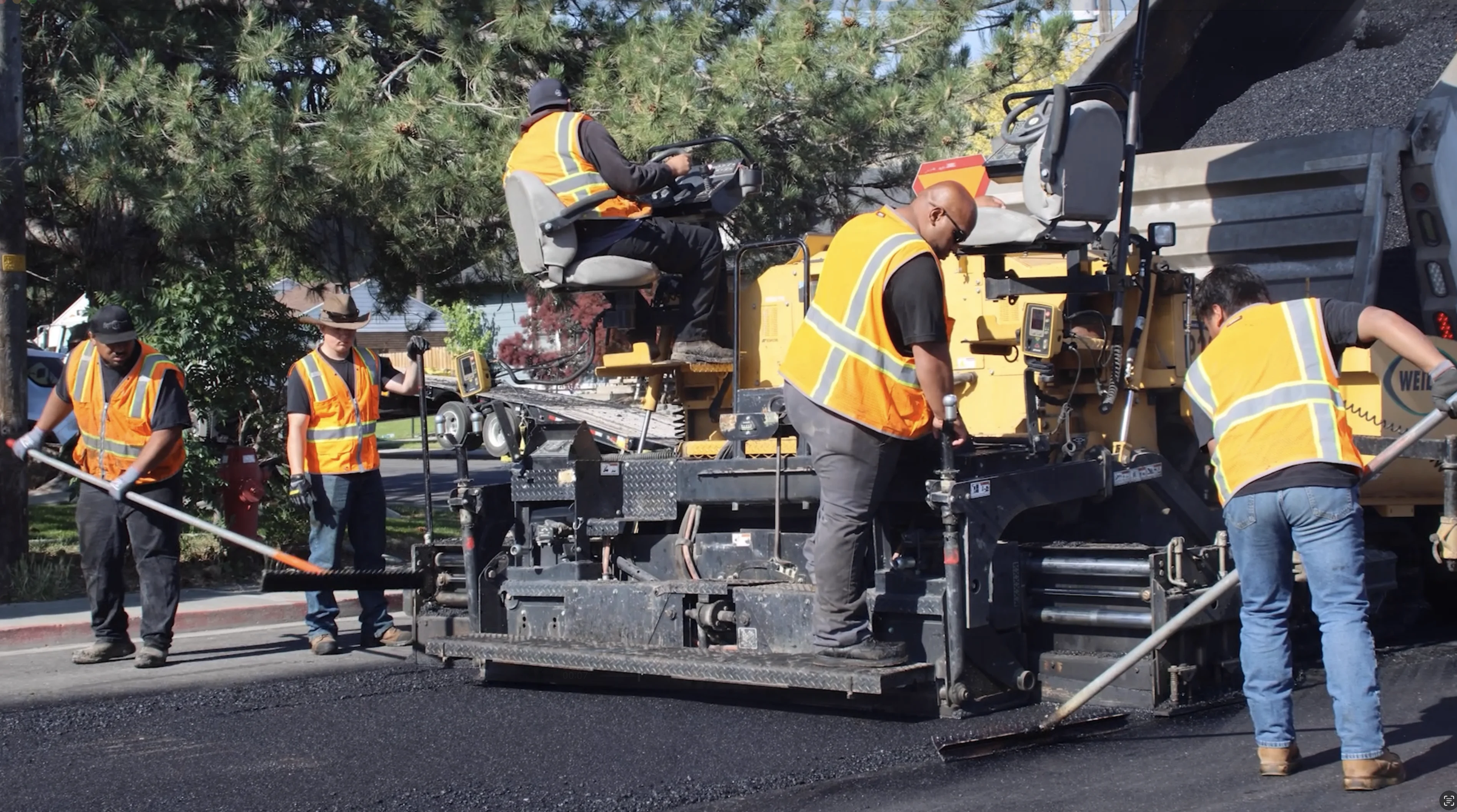
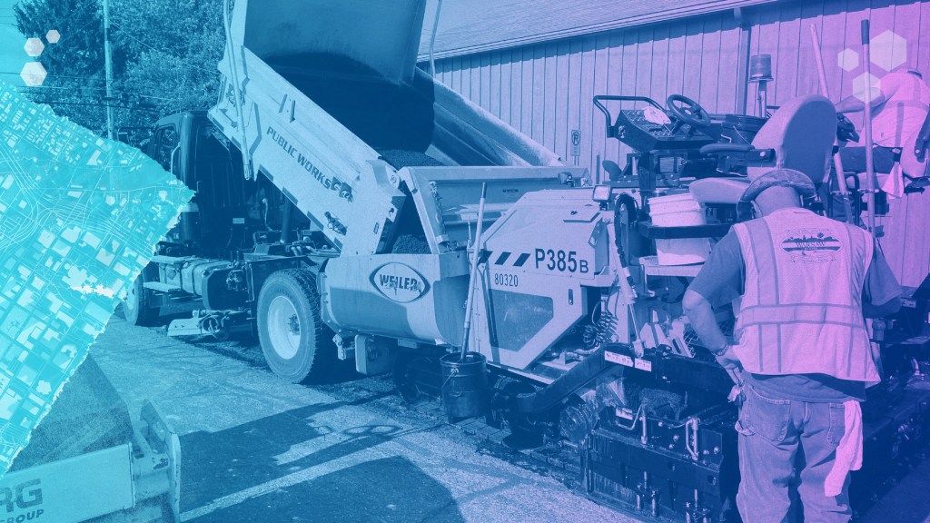
Keeping roads in good condition requires more than reacting to complaints or chasing short-term fixes. SAM IS® helps you inventory your pavement network, understand current conditions, and forecast future needs—so you can make informed decisions that extend pavement life and reduce long-term costs.
By combining GIS mapping, field data collection, analysis tools, and clear reporting, SAM IS gives your team a complete picture of your roadway network and the confidence to plan ahead.

Take Control of Your Pavement Network
From insight to action, SAM IS helps you understand, plan, and manage your pavement assets with confidence.
See Your Pavement Clearly
SAM IS brings pavement data, GIS-based mapping, dashboards, and reports together in one easy-to-use platform. Capture and evaluate pavement conditions, visualize them spatially, and turn raw data into clear insight you can share with staff, leadership, and the public.


Plan Ahead with Confidence
Analyze pavement condition, forecast deterioration, and compare funding and maintenance scenarios before issues become costly failures. SAM IS helps you understand what work is needed, when it should happen, and how today’s budget decisions affect conditions tomorrow—so you can build realistic, defensible plans.
Manage Maintenance Without the Guesswork
Schedule and track maintenance and rehabilitation work while keeping inspections, surveys, and repair history tied directly to each pavement segment. With everything in one system, your team can monitor progress, review historical actions, and plan improvements more efficiently.


Why Pavement Data Matters
Make Every Dollar Go Further
Pavement condition changes over time due to traffic, weather, and use. Understanding those changes is key to extending pavement life and controlling lifecycle costs. Roads maintained in better condition cost less to manage over time and provide safer, smoother travel for your community.
SAM IS helps you move from reactive repairs to proactive planning by giving you the data and tools to justify budgets, prioritize work, and coordinate projects across departments.
What You Can Do with Pavement
Track and Inventory Every Asset
SAM IS lets you catalog all pavement segments, including streets, lanes, and intersections, with detailed condition ratings and historical maintenance records. Linking everything to GIS ensures you have a complete, accurate inventory at your fingertips.
Collect Data Anywhere
Capture field inspections, surveys, and repair records using mobile tools, whether in the office or on-site. Updates are automatically reflected in your system, giving your team real-time visibility into pavement condition and work completed.
Visualize Conditions and Plan Work
Use map-based dashboards and thematic layers to see where pavement needs attention. Evaluate deterioration, model maintenance scenarios, and schedule work to extend pavement life while prioritizing budget and operational efficiency.
Support Budgeting and Reporting
Generate customizable reports to justify funding, evaluate repair strategies, and communicate priorities with leadership and stakeholders. SAM IS helps you make data-driven decisions that maximize your resources.
Share Insights with Stakeholders
Create dashboards and export data to keep internal teams, elected officials, and the public informed. Highlight maintenance progress, budget impacts, and network condition in a clear, accessible format.
Available Modules

Pavement

Sidewalks
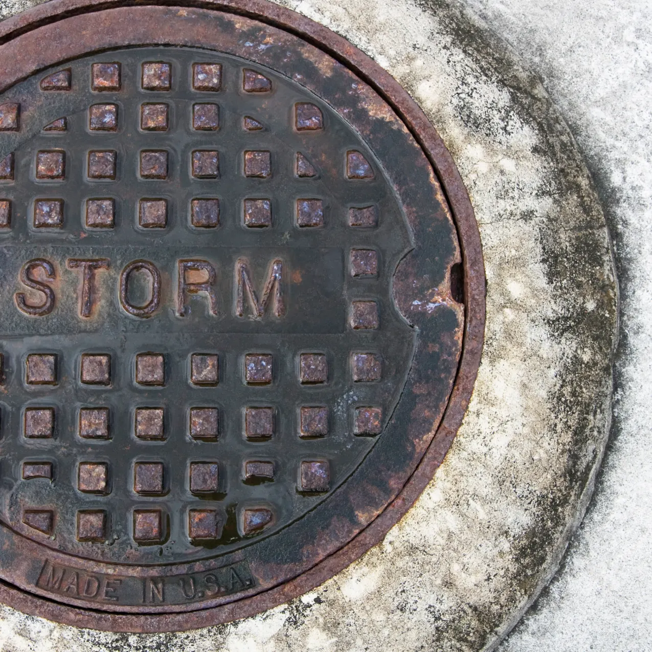
Stormwater
Turn Pavement Data Into a Plan
Understand pavement condition, evaluate scenarios, and plan maintenance with confidence.