

SIDEWALK MANAGEMENT FOR LOCAL GOVERNMENTS
Keep Sidewalks
Safe & Accessible
Understand your pedestrian network, track condition, and plan improvements with a GIS-powered sidewalk management solution built for local governments.
Sidewalk Management That Keeps Communities Moving
Sidewalks are more than concrete lines on a map; they’re critical connections in your community that support mobility, accessibility, and safety for all users. SAM IS® helps you inventory pedestrian assets, assess conditions, and plan improvements that keep sidewalks, ramps, and curbs functional and compliant.
Built to work with your agency’s existing GIS data and powered by Esri’s ArcGIS Online, SAM IS lets you collect sidewalk, curb, and ramp data in the field and view it in context on intuitive maps and dashboards. You can see where ADA compliance gaps exist, track completed work, and communicate your findings with confidence.

Take Control of Your Pavement Network
From insight to action, SAM IS helps you understand, plan, and manage your pavement assets with confidence.
See Your Sidewalks Clearly
SAM IS brings sidewalk, ramp, and curb data together with GIS mapping, dashboards, and reports in one easy-to-use platform. Capture field data, visualize conditions, and turn raw information into clear insight you can share with staff and decision-makers.


Plan Ahead with Confidence
Analyze sidewalk condition, identify ADA compliance gaps, and evaluate maintenance or improvement scenarios. SAM IS® helps you forecast needs, prioritize work, and make budget decisions that keep sidewalks safe, accessible, and compliant.
Manage Work Without the Guesswork
Schedule, track, and record maintenance or repair actions while linking inspections, surveys, and improvements directly to each sidewalk asset. Keep a complete history of work, monitor progress, and plan efficiently across your network.


Why Sidewalk Data Matters
Invest Smarter, Keep Communities Safe
Sidewalk condition changes over time due to use, weather, and infrastructure aging. Understanding these changes is key to maintaining safe, accessible, and ADA-compliant pedestrian networks. Well-maintained sidewalks cost less to repair over time and provide safer, smoother travel for all users.
SAM IS helps you move from reactive repairs to proactive planning by giving you the data and tools to justify budgets, prioritize improvements, and coordinate projects across departments, keeping sidewalks safe, functional, and accessible for your community.

What You Can Do with Sidewalks
Track and Inventory Every Asset
SAM IS helps you capture and maintain records for sidewalks, ramps, curbs, and ADA compliance features. Keeping an organized, GIS-linked inventory ensures you know the condition and location of every pedestrian asset.
Collect Data Anywhere
Field inspections, surveys, and maintenance updates can be captured on any device. Data syncs in real-time, providing accurate, up-to-date insight for your team.
Visualize Conditions and Plan Work
Map your pedestrian network with dashboards and thematic layers to see gaps, compliance issues, or areas in need of improvement. Prioritize projects, allocate resources, and schedule maintenance to keep sidewalks safe and accessible.
Support Compliance and Reporting
Track ADA compliance, inspections, and work completed. Generate reports to support funding requests, maintenance planning, and communication with stakeholders and regulatory partners.
Share Insights with Stakeholders
Use dashboards, maps, and exported reports to communicate progress and priorities with your team, leadership, and the public, keeping everyone aligned and informed.
Available Modules

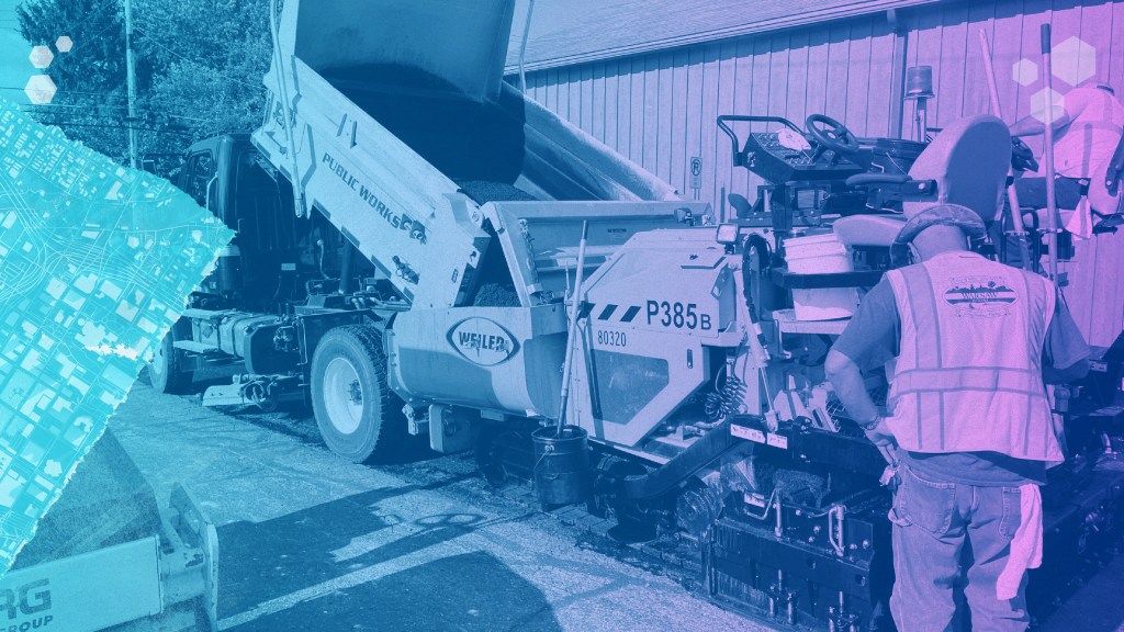
Pavement

Sidewalks
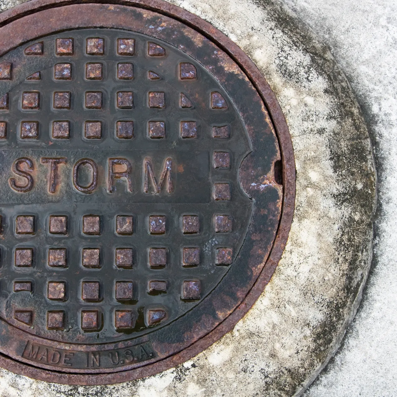
Stormwater
Turn Sidewalk Data Into Action
understand sidewalk condition, plan improvements, and keep your community safe and accessible.